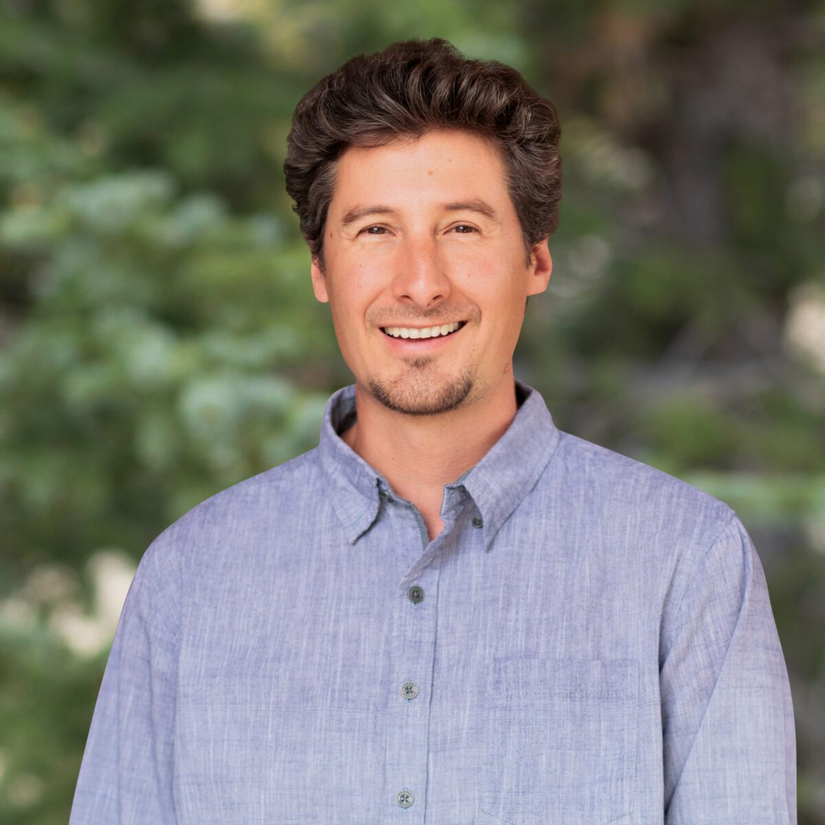
Mr. Matthew Jamieson is a geographic information systems (GIS) professional with a background in geographic science, coastal processes, and digital art. Mr. Jamieson has been working professionally with GIS technology since 2004 and has focused on applying GIS to coastal hazard modeling and analysis since 2014. Mr. Jamieson holds an M.F.A. in digital art and new media and has been working for many years with artists and scientists to communicate complex spatial and environmental information. Having worked on a diverse range of projects, Mr. Jamieson has developed skills in project management, reporting, coastal process modeling, scripting for task automation, data visualization, web programming, designing interactive experiences, and 3‑dimensional visualization.
M.F.A., Digital Art and New Media, University of California Santa Cruz, Santa Cruz, California, 2014
B.A., Geography, University of Guelph, Guelph, Ontario, Canada, 2002
GCert, Geographic Information Systems, Hunter College, New York, New York, 2010
Spanish Immersion, Vida Verde School, Quito, Ecuador, 2006
3D Modeling I, Pratt Institute Continuing and Professional Studies, New York, New York, 2010
Coastal Sustainability and Resilience, UCSC, Silicon Valley, California, 2024
Art2NRS Program Grant, Project: Sagehen a Proving Ground: Mapping and Visualizing Climate Change in the High Sierras, 2014
Graduate Student Researcher Grant, Project: Rising Sea Levels of the San Francisco Bay, 2013
Matthew Jamieson Senior Scientist
Mr. Matthew Jamieson is a geographic information systems (GIS) professional with a background in geographic science, coastal processes, and digital art. Mr. Jamieson has been working professionally with GIS technology since 2004 and has focused on applying GIS to coastal hazard modeling and analysis since 2014. Mr. Jamieson holds an M.F.A. in digital art and new media and has been working for many years with artists and scientists to communicate complex spatial and environmental information. Having worked on a diverse range of projects, Mr. Jamieson has developed skills in project management, reporting, coastal process modeling, scripting for task automation, data visualization, web...
Mr. Matthew Jamieson is a geographic information systems (GIS) professional with a background in geographic science, coastal processes, and digital art. Mr. Jamieson has been working professionally with GIS technology since 2004 and has focused on applying GIS to coastal hazard modeling and analysis since 2014. Mr. Jamieson holds an M.F.A. in digital art and new media and has been working for many years with artists and scientists to communicate complex spatial and environmental information. Having worked on a diverse range of projects, Mr. Jamieson has developed skills in project management, reporting, coastal process modeling, scripting for task automation, data visualization, web programming, designing interactive experiences, and 3‑dimensional visualization.
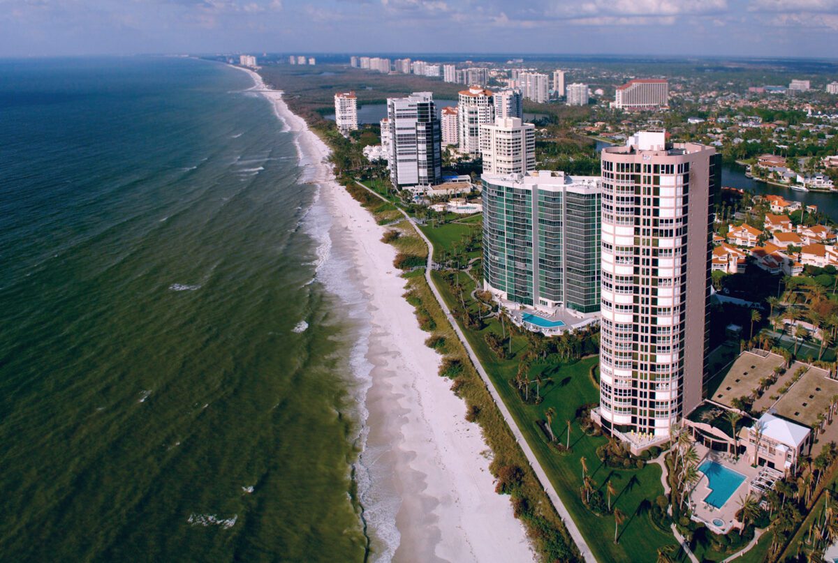
Beach Preservation: Integral Presents on Coastal Adaptation at FSBPA Conference
Press Release
February 03 2022


