Select Page
Charles Van Ness
Associate Engineer

Charles Van Ness

Associate Engineer

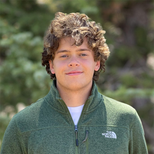
Mr. Charles Van Ness is an associate engineer with a background in geospatial analysis, environmental engineering, statistical analysis, and decision analytics. His specialized skills include remote sensing, hydrological engineering, geographic information system (GIS), and the statistical program R. Mr. Van Ness’ prior work experience includes statistical prediction of wetlands using remotely sensed data and considerable field experience in plant disease research.


Environmental Economics

Greenhouse Gas Inventory, Buffalo, New York Utilized citywide data to develop a preliminary inventory, and subsequent costs, of city-owned emissions of greenhouse gases utilizing the EPA Local Greenhouse Gas Inventory Tool, based upon the Greenhouse Gas Protocol standards.

Environmental Monitoring

Water Quality Monitoring, Lake Champlain Monitored up-current and down-current water quality during cable laying operations on Lake Champlain. From a small research vessel, collected data and water samples using a multiparameter sonde and a Niskin bottle.

Site Investigation

Site Characterization, Ohio Spearheaded hand auger sampling on a large-scale project with a short time frame. Communicated with project management staff regarding material and personnel needs. Coordinated three 2-person teams, and collected 3+ interval samples from 100+ boring locations, with 150+ samples collected in a single day.

Statistical Modeling

Historical Flooding Model, Cuyahoga River Watershed, Ohio Investigated historical flooding patterns as a potential pathway for environmental contamination spread. Because direct water surface elevation measurements were limited, a random forest model was trained, which correlated upstream and downstream discharge to onsite water surface elevation. This model was then applied to historical upstream and downstream discharge to determine a maximum daily water surface elevation on site. Water surface elevation values above a given threshold were noted to determine total number of days with flooding inundation over the period of interest.      
Wetland Prediction, Lower Genesee Watershed, New York Developed a predictive geostatistical model to determine the location of agriculturally disturbed wetlands within the Lower Genessee watershed using a combination of remote sensing, GIS, and R.
Stream Network Nutrient Spatial Variance Model, McRea Creek, Oregon Constructed a spatial model to analyze nutrient concentrations in McRea Creek emulating a prior study while utilizing the existing synoptic nutrient data in combination with stream network shape and digital elevation data. Utilized a stream network-specific kriging model to predict nutrient data using ArcMap and R.
RETURN TO OUR TEAM PAGE