Our Services
The services you need to get the right job done right.
From analysis and assessment to negotiation and design, we have the services—and the team—to deliver the best solutions each and every time.
How? Our team of toxicologists, engineers, geoscientists, marine scientists, chemists, data scientists, and others skillfully blend technical expertise with big-picture context and insight.

PFAS
Our team is at the forefront of technical and regulatory PFAS developments. Our experts can guide you through new and complex PFAS regulations and evaluate associated risks.

Coastal Climate Risk & Resilience

Offshore Wind

Water Resource Management
Our water resources team is a diverse, internationally experienced, and passionate group that will work with you to solve your challenges big or small.

Environment
Whether it’s cleaning up legacy pollution, complying with environmental protection standards, or ensuring that restored environments are safe, we deliver permanent solutions that work.
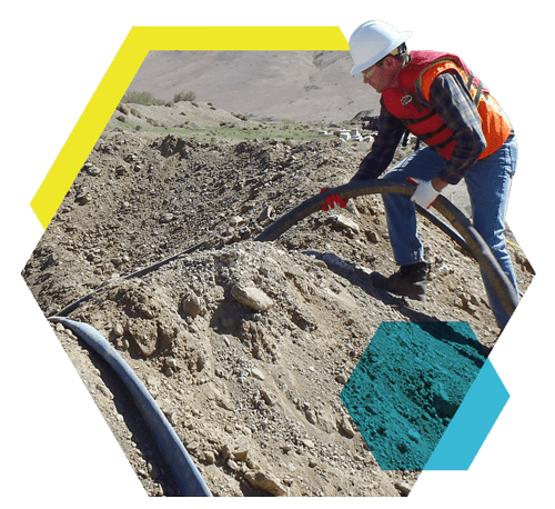
ENGINEERING
Our team develops practical remedies for all phases of remediation, stormwater, and development projects.

HEALTH
We work proactively to help clients and their counsel manage health risks and liabilities.
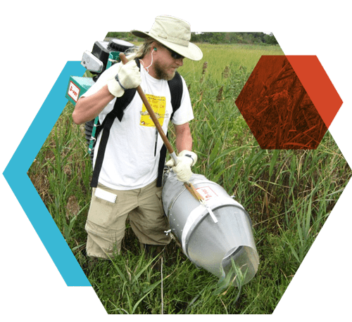
ECOLOGY
We help clients assess, manage, and mitigate ecological impacts associated with products, projects, and environmental practices.

ECONOMICS
We help clients identify and manage both liabilities and opportunities that emerge from activities relying on or affecting natural resources and the environment.
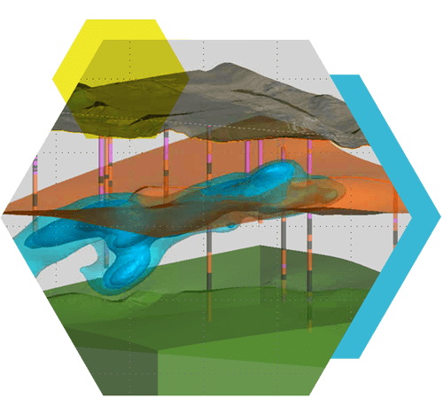
MODELING
We use a variety of tools and approaches to build analytical models of the site environment and deliver clear visualization and communication of complex model results.
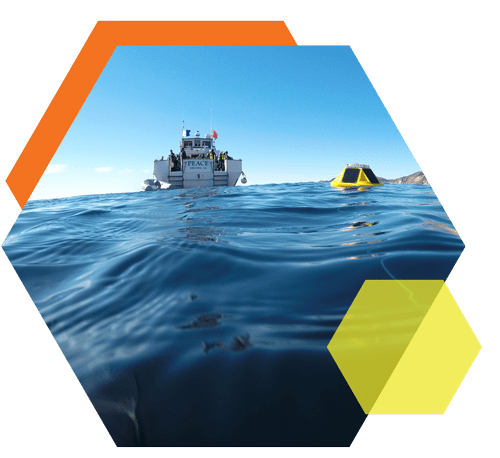
OCEANS
We bring multidisciplinary expertise to develop practical solutions for our clients’ needs, from best practices in forecasting and monitoring, to efficient and effective permitting, to supporting sustainable development in challenging aquatic environments.

PRODUCTS
We help clients bring new products to market and ensure the safety of their existing products.

LITIGATION
We deliver the facts with context and insight to answer the important questions in a clear and understandable way.
analytics
We combine high-value analytics and a wealth of subject matter expertise to deliver insightful solutions.

Our People Are Our Strength
We offer a highly experienced and dedicated team of professionals and supporting staff, many of whom are recognized experts in their fields. Technical specialists include ecologists, toxicologists, biologists, aquatic scientists, geologists, hydrogeologists, environmental and atmospheric chemists, and meteorologists, as well as civil, environmental, hydrologic, and geologic engineers.
case studies
recent news and articles
The Consumer Product Safety Commission (CPSC) has released the final supplemental guidance for its Chronic Hazard Guidelines.
The Consumer Product Safety Commission (CPSC) has released the final supplemental guidance for its Chronic Hazard Guidelines. This critical release incorporates new methods for assessing chronic health risks from consumer products under the Federal Hazardous...
EPA Releases Final Drinking Water Standards for PFAS Chemicals
On April 10, 2024, U.S. Environmental Protection Agency (EPA) announced its final National Primary Drinking Water Regulations for the following six per- and polyfluoroalkyl substances (PFAS): perfluorooctanoic acid (PFOA), perfluorooctane sulfonic acid (PFOS),...
Integral Consulting Selected to Conduct Crucial Sea-Level Rise Study for Santa Cruz County
Integral Consulting Inc. has been selected to conduct a crucial sea-level rise study for Santa Cruz County, aiming to address the significant impacts of climate change along the county's 32-mile coastline. This decision seeks to explore the economic, environmental,...